On September 4, the UN General Assembly passed a resolution called “Correct the Map.” It wasn’t really a political move. African countries, led by Togo, had been pushing for it because most world maps we use today are based on a design that is over 450 years old, and that design makes Africa look much smaller than it really is. The vote passed easily, with 164 countries in favour, only the United States against it, and six countries abstaining. Going forward, the UN wants schools, media outlets, and other institutions to use maps that show the true size of continents, using something called the Equal Earth projection.
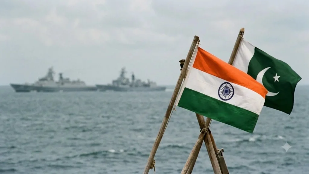
India voted in favour of this resolution. But its Foreign Ministry spokesperson, Randhir Jaiswal, added something extra to the statement. He said India’s support was only about the method used to draw maps, not about accepting anyone’s borders. Then he went a step further and said that any map linked to the UN must show Jammu, Kashmir, and Ladakh exactly the way India’s own official maps show them. That one sentence is what dragged Kashmir into a resolution that, honestly, had nothing to do with it in the first place.
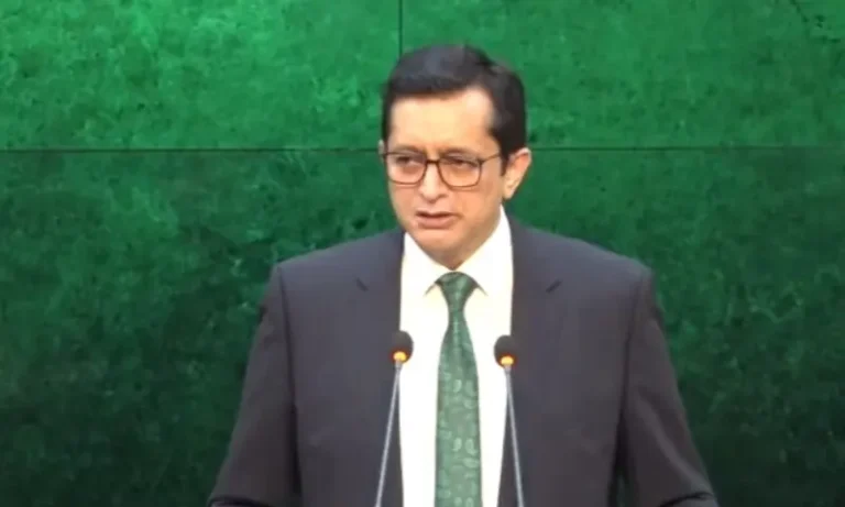
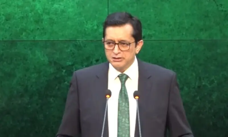
Pakistan responded quickly. Foreign Office spokesperson Sajjad Haider Khan called India’s claim baseless. He said India cannot simply rewrite the status of Kashmir by printing new maps or making one-sided statements, and he has a point. No country gets to settle a dispute just by announcing that it’s settled.
This is really the heart of the matter. Kashmir was never actually resolved. It was frozen in place. Back in 1948, the UN Security Council said the people of Kashmir should be allowed to decide their own future through a free vote, known as a plebiscite. That vote never took place. Instead, the region ended up divided by what’s called the Line of Control, which was only ever meant to be a temporary military line, not a real border. More than seventy years later, India still treats that line as if it were permanent. It isn’t. Even the UN’s own maps continue to show Kashmir as disputed territory, and that is the only map that actually carries legal weight.
So when India insists that Kashmir belongs to it fully and finally, it isn’t stating a fact. It’s making a claim that the same organisation it just voted with has never accepted.
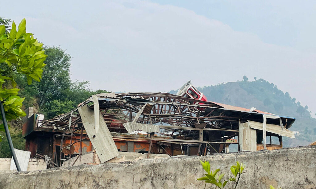
Pakistan also used this moment to bring up something India doesn’t like being reminded of, which is the human rights situation in Indian-occupied Kashmir. Since India removed the region’s special status in August 2019, there have been mass detentions, communication shutdowns, and a heavy military presence that people there live under every day. Journalists can’t move around freely. Political leaders have spent years going in and out of jail. Elections have taken place, but under conditions many observers wouldn’t call free or fair.
Some people will say Pakistan brings up Kashmir too often. But look at how this particular argument started. It was India that pulled Kashmir into a resolution about map-making that had nothing to do with borders. Pakistan simply responded to that.
At its core, this isn’t really about maps at all. It’s about a promise made to the Kashmiri people decades ago that still hasn’t been kept. They were told they would eventually get to vote on their own future, and they are still waiting for that day. Every time India tries to close this chapter through actions taken on its own, Pakistan is right to remind the world that the chapter was never actually closed.
Read more: https://digdebate.com/pakistan-defence-day-1965-makkah-defence-pact/

Our Editorial Desk is the intellectual engine of Digital Debate, responsible for the rigorous research that anchors every conversation. Our team deep-dives into data, checks every source, and consults academic literature to move beyond headlines and identify the questions behind the questions.